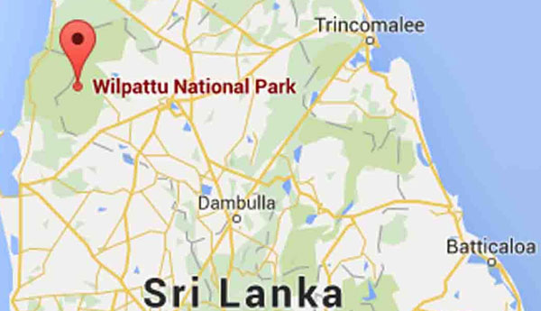
Forest Reserve Officials Erred in Identifying Borders of Wilpattu National Park
24×7 Around the Globe

(FASTNEWS|COLOMBO) – Special Task Force personnel had been deployed around the Parliamentary complex and as well as 32 Ministries in…

Oil prices rose more than two percent on Wednesday (Oct 19), with US crude settling at its highest in 15…

(FASTNEWS|COLOMBO) – Owner of Perpetual Treasuries Limited (PTL) Arjun Aloysius and its CEO Kasun Palisena, arrested over the controversial Central…